

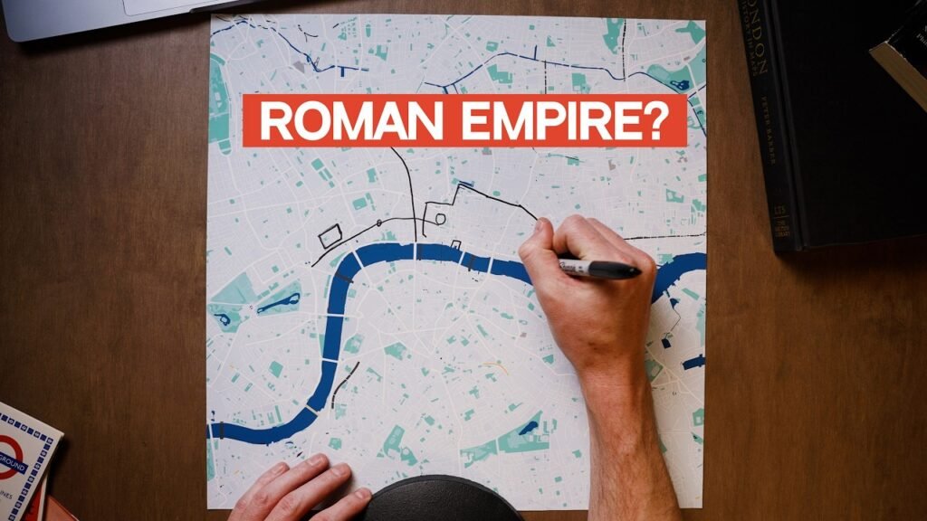
If you’re trying to understand a city, its map isn’t a bad place to start. Today, of course, we can call up an accurate map of practically any part of any city at any time we like, with detailed point-to-point directions available on command. Turn on the satellite view, street view, or 3D mode with its offer of every imaginable point of view, and you soon feel you’re engaging with less a representation of the city than the city itself. Yet the familiarity this makes us feel we possess is deceptive, a realization that comes afresh whenever our phone runs out of battery, leaving us barely able to find our way through even neighborhoods we’d thought we knew. Sheer habit can get us between the places we frequent, but that’s a far cry indeed from understanding the city as a whole.
That last is just what YouTuber Daniel Steiner attempts to do in his series of map explainers, which draws connections between the large-scale, abstracted view of the map and the concrete experience down on the street. He not only uses maps both current and historical to illuminate why the street network and neighborhood boundaries of a given city have taken the shape they have, but actually travels to that city and meets with experts equipped to point out physical traces of that process of urban evolution that escape the attention of most locals.
Those could be the infrastructural remnants of Roman London (or rather Londinium); the unloved Tokyo overpass where the major roads of old Japan once converged; the surveyor’s rod from the original gridding of Manhattan sticking out of what’s now Central Park; or the contours of Amsterdam even before its famous canals went in.
One visit to a city, of course, can hardly an understanding make. Steiner has so far returned to New York to create additional videos focusing on Broadway, Brooklyn, the Bronx, and Staten Island, and his examination of Los Angeles ends with a call for requests for more subjects to cover within the vast oddity of the southern California metropolis. His map explainers on other American cities from Chicago to Seattle to Savannah, Georgia also show great potential for follow-ups, to say nothing of how deep he could get into Mexico City after having told the story of how it used to be a lake. Part of these cities’ appeal lies in the fact that, no matter how long you spend in them, you can never get to know them completely, irresistible though it is to try. To the question of whether that attempt is best made top-down or bottom-up, Steiner’s videos respond implicitly — and convincingly — why not both?
Related content:
A Wonderful Archive of Historic Transit Maps: Expressive Art Meets Precise Graphic Design
The Genius Urban Design of Amsterdam: Canals, Dams & Leaning Houses
136 Maps Reveal Where Tourists & Locals Take Photos in Major Cities Across the Globe
Japanese Designer Creates Incredibly Detailed & Realistic Maps of a City That Doesn’t Exist
Based in Seoul, Colin Marshall writes and broadcasts on cities, language, and culture. He’s the author of the newsletter Books on Cities as well as the books 한국 요약 금지 (No Summarizing Korea) and Korean Newtro. Follow him on the social network formerly known as Twitter at @colinmarshall.
